Map and Directions
Plan your journey to the University of Mannheim using GreenMobility.de
Traveling by Bus and Train
Mannheim main station is a transportation hub in the immediate vicinity of the University of Mannheim. To get to the university, you can take tram lines 1, 2, 4a, 5, 5a, 6, 6a, and 15, to the station Schloss (then walk 5 mins) or take the bus route 60 to station Universität West (right in front of A5).
The Rhein-Neckar-Verkehr GmbH (rnv) runs the local public transport system. Visit their website.
Walking from Mannheim Main Station
The walk from the station to the palace where the university is located (the Schloss), takes around ten minutes. From the castle, it takes another 7 mins to A5.
Map of the Campus (PDF)
Traveling by Car
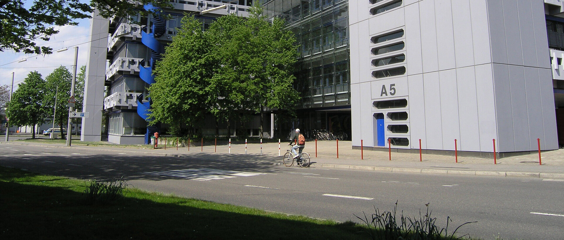
You can reach the university by taking the A6 highway, and exiting at Mannheim Mitte. Take the B37 and follow it past the Planetarium and then turn left following the sign indicating Universität. Once you have passed Mannheim main station, you are on Bismarckstrasse, which leads you directly past the palace where the university is located (the Schloss). As you drive along Bismarckstrasse for another 400 m, you will reach a crossing, where you turn right to Parkring. After 100 m, you turn right again and reach A5 after 50 m. You can park at the street with a parking ticket. Unfortunately, the University of Mannheim does not have a visitor's car park. We recommend using the parking lot underneath the Mensa.
Traveling by Plane
Mannheim has a regional airport, which has direct flights to and from Berlin and Hamburg. The nearest international airport is in Frankfurt. High-speed train connections from the airport mean that you can reach Mannheim in 30 minutes.